Forty minutes from Marrakech, a river road climbs into the High Atlas past villages nobody photographs. It is the gentlest introduction to Atlas riding — with one hazard the brochures never mention.
Published
The Ourika valley starts about 30km south of Marrakech and runs up into the High Atlas, ending at Setti Fatma at roughly 1,500m. That makes it the closest real mountain valley to the city — closer than Imlil, lower than Imlil, and considerably gentler than Imlil. If you have one riding day and you are not a confident technical rider, Ourika is usually the right answer.
It is also the valley most visitors to Marrakech have already heard of, because every hotel desk sells a Setti Fatma waterfall day trip. That means two things for a cyclist: the lower road carries tourist traffic on weekends, and the parts worth riding are the parts the minibuses cannot reach.
What the riding is actually like
Ourika is a river valley, so the fundamental shape of the day is a long, gradual climb alongside water and a fast descent back down it. The gradient is forgiving. This is a valley road, not a pass — and that is what makes it the easiest Atlas introduction we offer. You gain height steadily rather than in the sharp ramps that define the Imlil and Azzaden approaches.
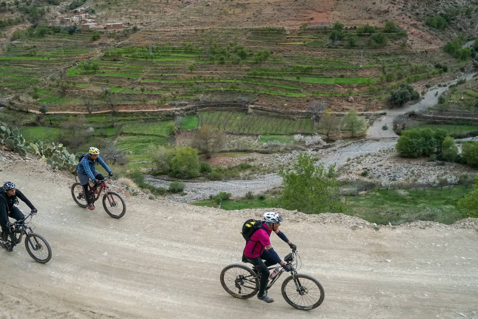
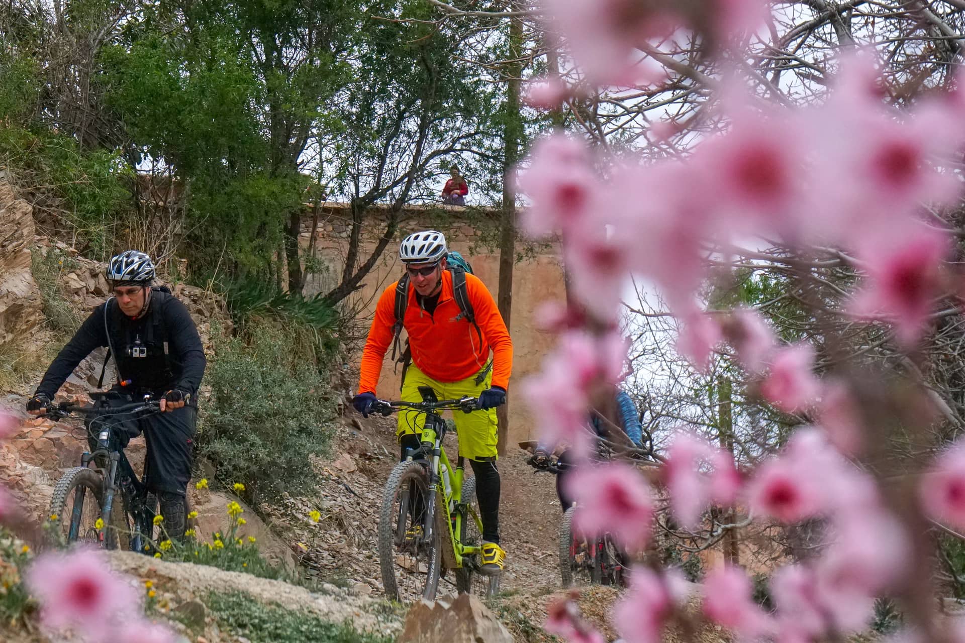
The surface varies more than the gradient. Tarmac runs a long way up the valley floor, and it is genuinely pleasant riding on a gravel bike or an e-bike. Above and either side of it, dirt tracks link the villages on the valley sides, and those are where the day becomes interesting: rolling piste with the river below you and terraced fields stacked up the slope.
Ourika compared to the other valleys
The honest comparison matters more than a list of highlights, because these valleys genuinely suit different riders.
| Valley | Character | Best for |
|---|---|---|
| Ourika | River valley, steady gradient, tarmac plus village piste | First Atlas day, mixed-ability groups, gravel and e-bikes |
| Imlil | Steep, high, technical mule paths from 1,740m | Confident mountain bikers who want singletrack |
| Kik Plateau | Open high plateau, long flowing trail, few trees | Riders who want speed and space rather than technicality |
| Agafay | Stone desert, no shade, rolling piste | Winter riding and short days close to the city |
The pattern is simple enough: Ourika trades technical interest for accessibility. Nobody in your group will be out of their depth, which is exactly what you want on a first day or with a group whose abilities you do not yet know.
The flood risk nobody mentions
Ourika is one of the most flood-prone catchments in the High Atlas, and this is the part of the valley’s character that tourist material leaves out. The hydrology is well studied: analysis of 34 years of records found floods occurring in every month except December, with about 44% falling in spring and 25% in summer.
The mechanism is straightforward. A steep, largely bare catchment sheds water fast, the valley narrows, and buildings and roads sit close to the riverbed because that is the only flat ground. Rain falling high in the mountains — possibly out of sight of where you are standing, under a blue sky — arrives in the valley bottom as a wall of water with very little warning.
None of this makes Ourika a dangerous place to ride. It makes it a valley to ride with somebody who watches the water, keeps an eye on what the weather is doing over the peaks, and knows which side tracks climb out of the valley bottom quickly. Spring, statistically the peak flood season, is also the most beautiful time in the valley, and we ride it every year.
When to ride it
Ourika works nearly all year, which is one of its practical advantages over the higher valleys. At around 1,000–1,500m it stays below the winter snowline that closes the high passes, and the river and the tree cover along it make it noticeably cooler than Marrakech in summer.
| Season | Conditions | Verdict |
|---|---|---|
| Spring (Mar–May) | Green, full river, snow on the peaks above | Best looking, and peak flood season, so watch the water |
| Summer (Jun–Aug) | Hot on the plain, cooler in the valley, busy at weekends | Ride early; the valley is a genuine heat escape |
| Autumn (Sep–Nov) | Stable, warm, clear air after the summer haze | The quiet favourite |
| Winter (Dec–Feb) | Cold mornings, snow only on the tops, low water | Rideable when Imlil and the passes are not |
Weekends are worth avoiding whatever the season. Ourika is where Marrakech goes on a Sunday, and the lower road can be busy with families heading for the waterfalls. Ride midweek and the valley belongs to the people who live in it.
What you will actually see
Terraced fields stacked up both valley sides, irrigated by channels that have been maintained by hand for generations. Flat-roofed villages the colour of the earth they are built from. Walnut and olive trees along the water. Above the treeline, bare rock that turns red in the late afternoon.
Ourika is also the only place in the High Atlas where the endangered Barbary macaque is found. You are unlikely to see one from a bike, but it says something about the valley that they are there. The road ends at Setti Fatma, where a series of waterfalls climbs the hillside above the village and where most day-trippers turn around.
Riding it with us
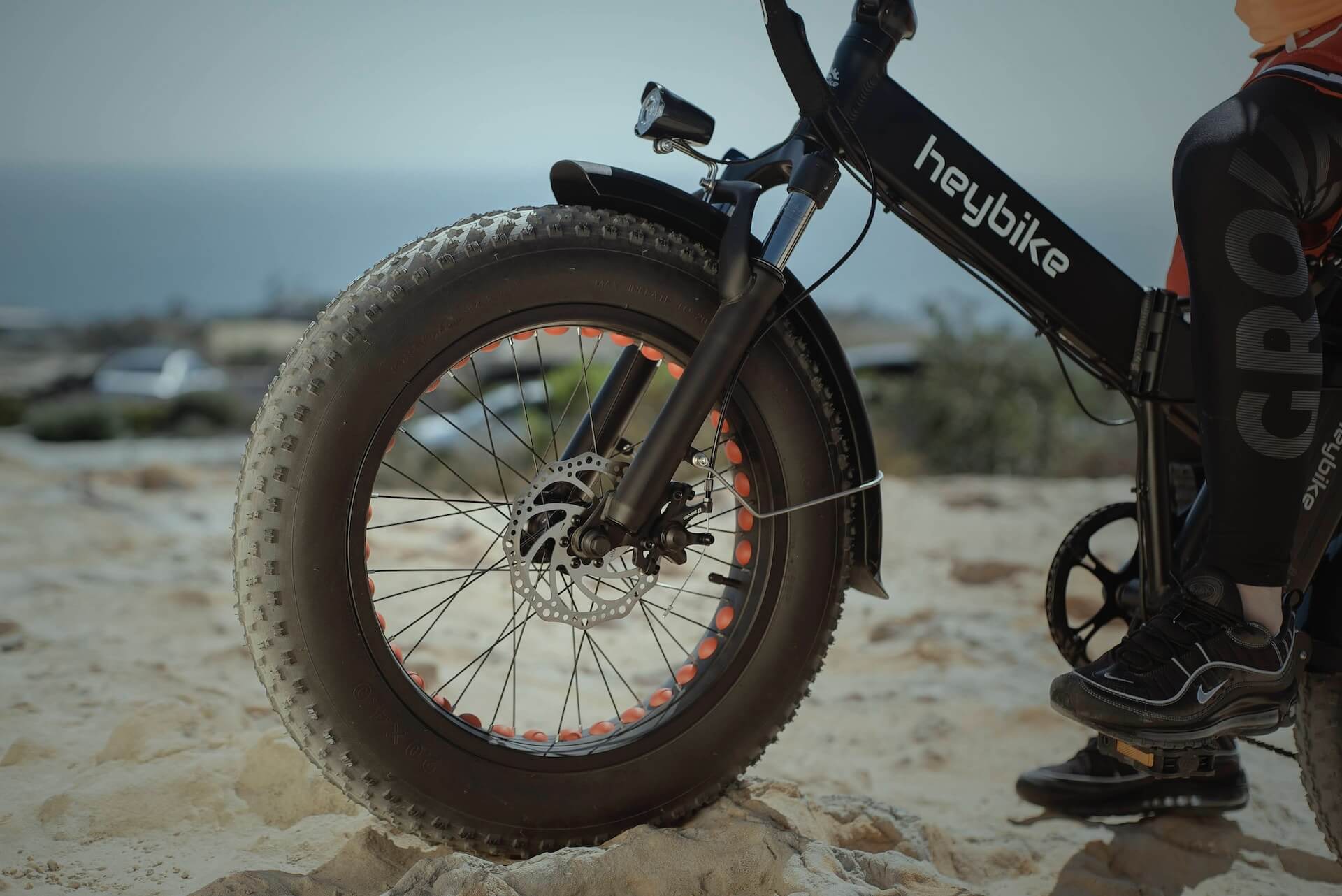
Ourika runs as a private day tour from Marrakech, on a mountain bike, gravel bike or e-bike depending on how much of the climbing you want to do yourself. The e-bike option is genuinely useful here rather than a compromise: a valley road climb is exactly the terrain where a mixed-ability group falls apart, and motors keep everybody together.
If Ourika sounds gentler than what you are after, the day mountain bike tour from Marrakech covers harder ground, and the Imlil enduro day is the technical end of what is possible in a single day from the city.
Common questions
How far is the Ourika Valley from Marrakech?
The valley begins about 30km south of Marrakech — roughly 40 minutes by road to the lower valley. Setti Fatma, at the head of the valley at around 1,500m, is further up and takes longer, particularly on a busy weekend.
Is the Ourika Valley suitable for beginners on a bike?
Yes. It is the gentlest Atlas valley we ride. The gradient is steady rather than steep and much of the valley floor is tarmac, so it suits riders who are fit but not technically confident. Harder dirt tracks climb off the valley sides for anybody who wants them.
Is it safe to cycle in the Ourika Valley given the flooding?
Yes, with a guide who watches the river. Ourika is a flood-prone catchment, published analysis of 34 years of records found floods in every month except December, but the risk is manageable by staying off the valley floor when water levels rise and knowing the tracks that climb out quickly. Rain high in the mountains can raise the river under a clear sky where you are riding, so weather overhead is not the signal to watch.
What is the best time of year to cycle Ourika?
Autumn is the most reliable — stable weather, clear air and quiet trails. Spring is the most beautiful but is also the peak flood season. Ourika stays rideable in winter when the higher valleys are under snow, and in summer the river and tree cover make it cooler than Marrakech.
Can I ride Ourika on an e-bike?
Yes, and it is a good match. The valley is a long steady climb followed by a descent, which is the terrain where a mixed-ability group most often splits up. Motors keep the group together and let everybody ride further up the valley than they otherwise would.